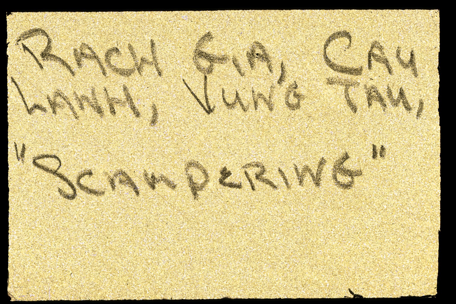
Opens the tray: "Rach Gia, Cau Lanh, Vung Tau, 'Scampering.'" Handwritten, tan ground.
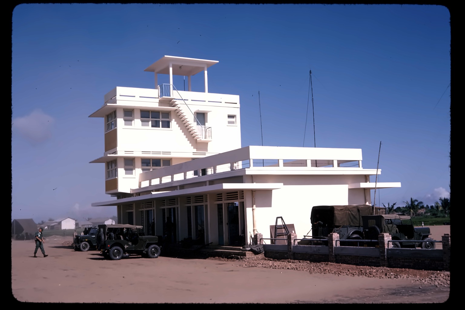
A distinctive Art Deco control tower and terminal building, no signage visible. Given the tray's route, likely Rach Gia's own airport — built by the French in the 1950s, shifted to military use by the early 1960s, matching his era exactly. Not a confirmed visual match, just a strong circumstantial fit.
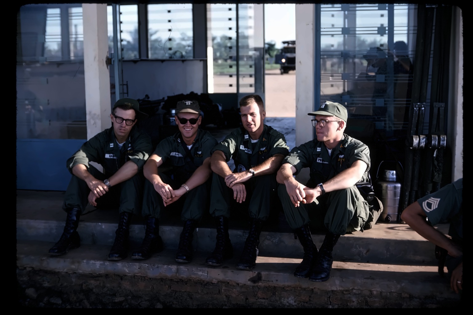
Four soldiers on a set of steps, named directly in the caption. "Ralph" is James Ralph — later Lt. Col., four tours in Vietnam, seen again as the Corps C.O. in slide #67. "DRT" is real military-medical slang from the era for "Dead Right There" — a stark, clinical term sitting right next to four smiling men in an otherwise easygoing photo, consistent with the dark humor seen elsewhere in his captions.
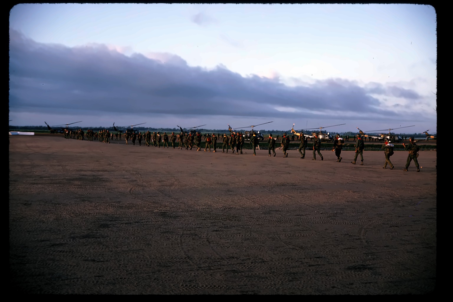
Ground-level: a long line of troops boarding a row of parked helicopters on an open airstrip at dusk — genuinely more soldiers than a quick glance suggests. No ships visible in this frame.
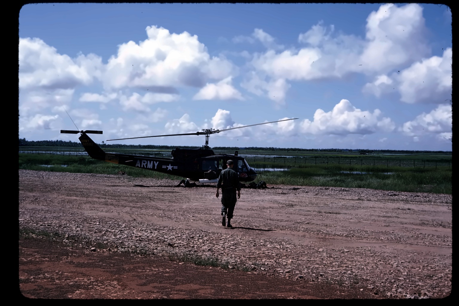
Ground-level: a soldier walking toward a parked UH-1, "ARMY" clearly marked on the fuselage.
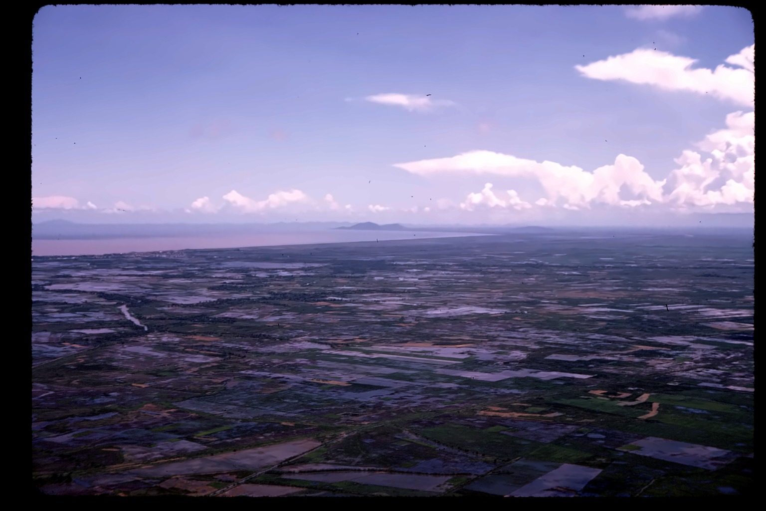
Aerial over hazy coastline, en route to Cao Lanh.
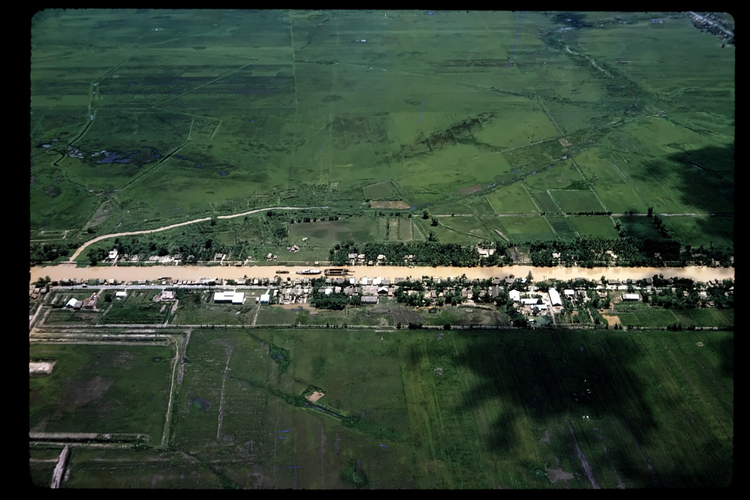
A river, a village lining both banks, boats visible on the water — the joke lands directly: the river itself is right there, and flying past it beats using it.
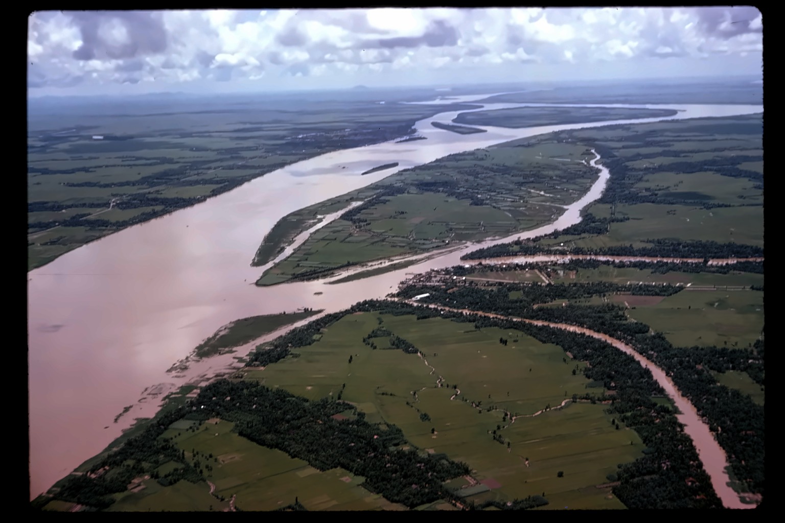
More than a bend — a genuinely massive river splitting around large islands, silt-brown water living up to the name. Given the tray's route through Cao Lãnh, which sits directly on the Mekong, this could well be the Mekong itself rather than a smaller tributary.
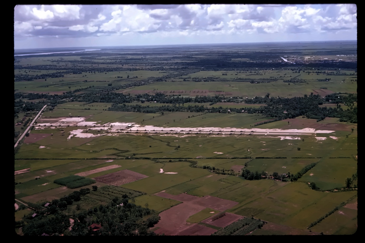
"Gad Lawh" reads like his phonetic spelling of "Good Lord!" — not a place name at all. A real reaction: a long PSP airstrip lined with dozens of parked UH-1s, more Hueys in one shot than anywhere else in the collection. No signage visible to confirm which base this is, though the timing and location fit a major Delta UH-1 staging base of the era.
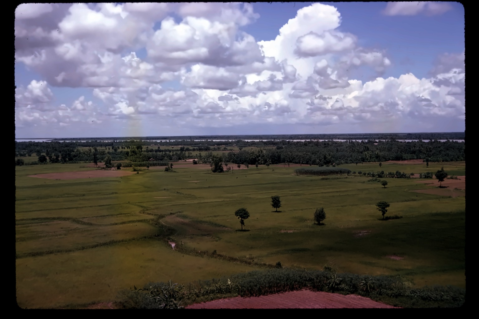
Aerial over open fields, on approach.
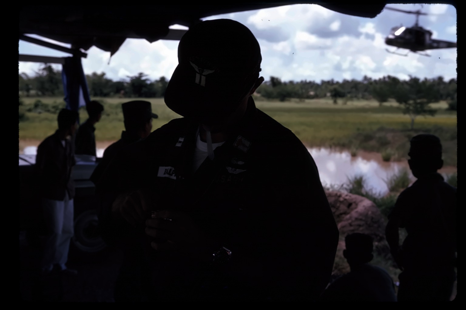
The Corps C.O. is James Ralph. He's wearing Army Aviator wings and what reads as a single collar bar here, consistent with Captain rather than the Lt. Colonel rank he held later, after four tours in Vietnam. Same person named directly in slide #59.
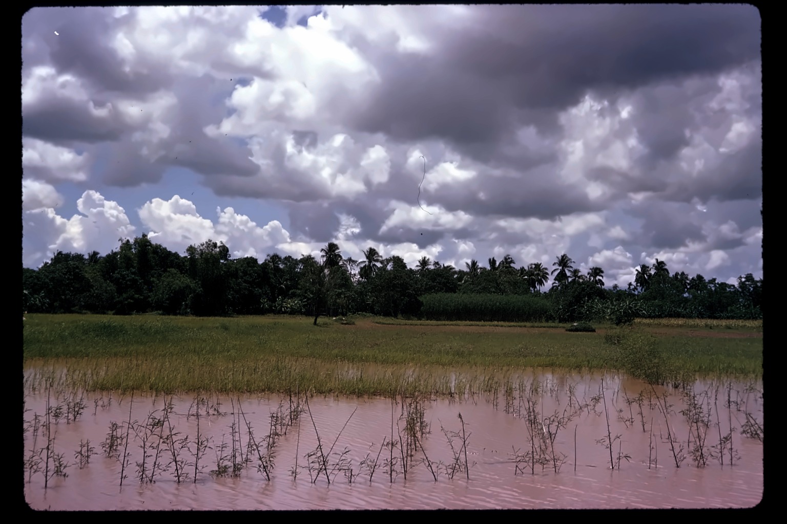
Ground-level, not from the air: a flooded field, palm trees on the horizon, genuinely dramatic storm clouds building overhead.
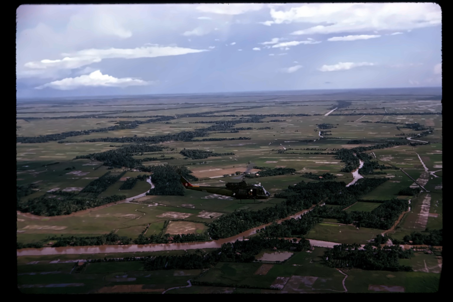
Aerial over river and fields, likely en route to Vung Tau given the tray's title.
uncertain — "Hung Tau" vs. Vung Tau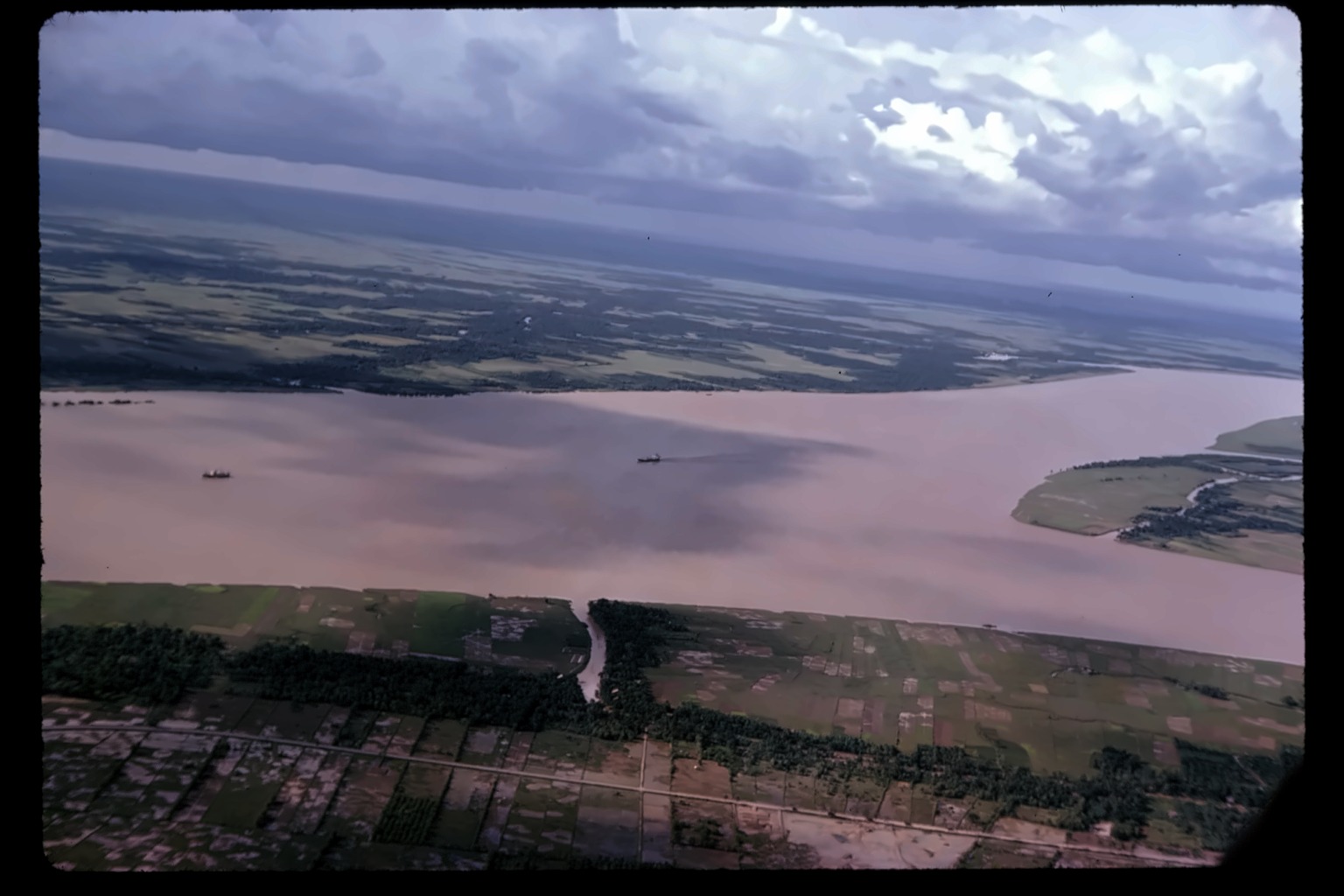
The same massive river seen in #64 and #72 — genuinely wide enough that two actual cargo ships are visible on the water, tiny against its scale.
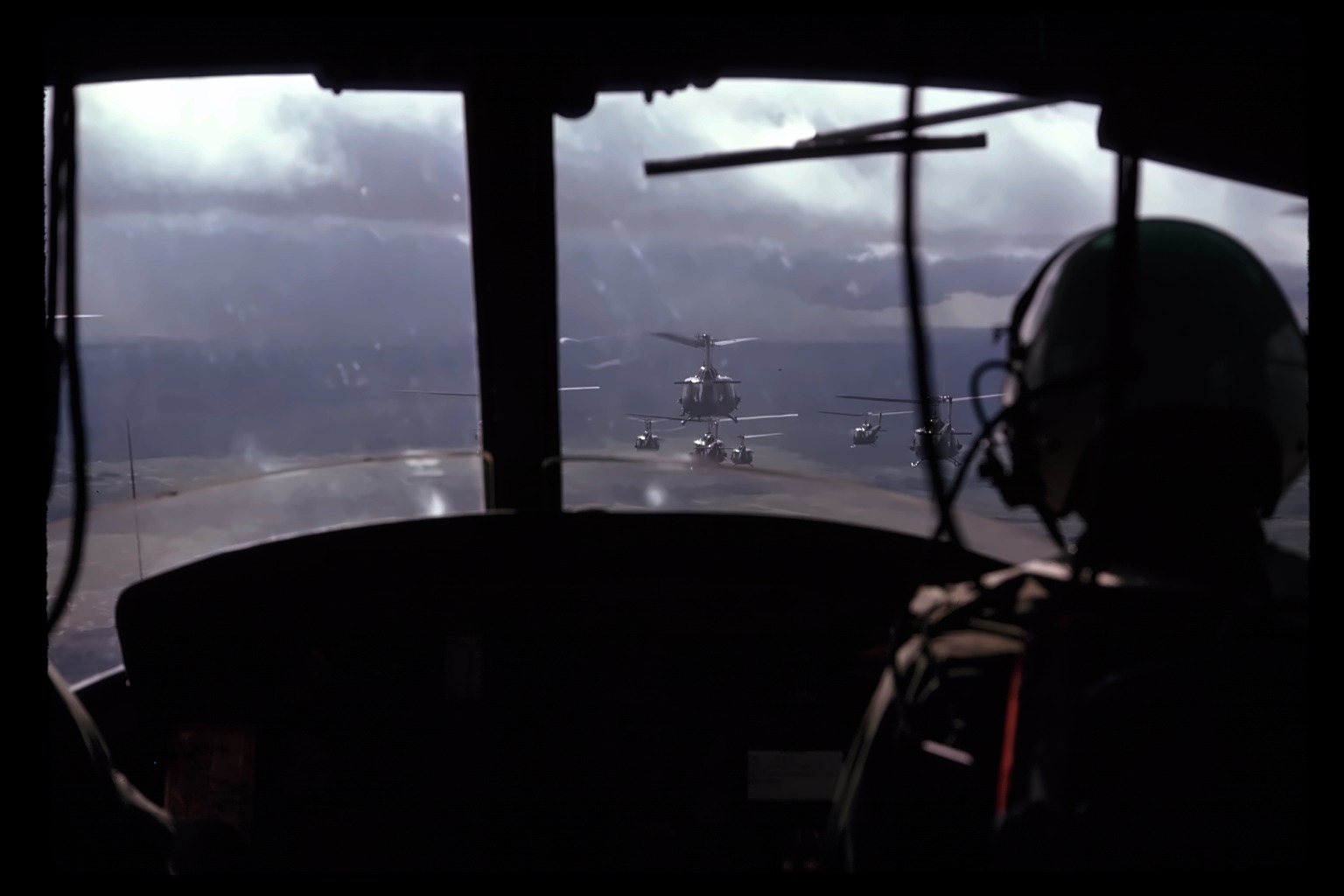
A cockpit view, mid-flight, storm clouds all around — a formation of five UH-1s visible ahead through the windscreen, a pilot's helmeted silhouette in the foreground.
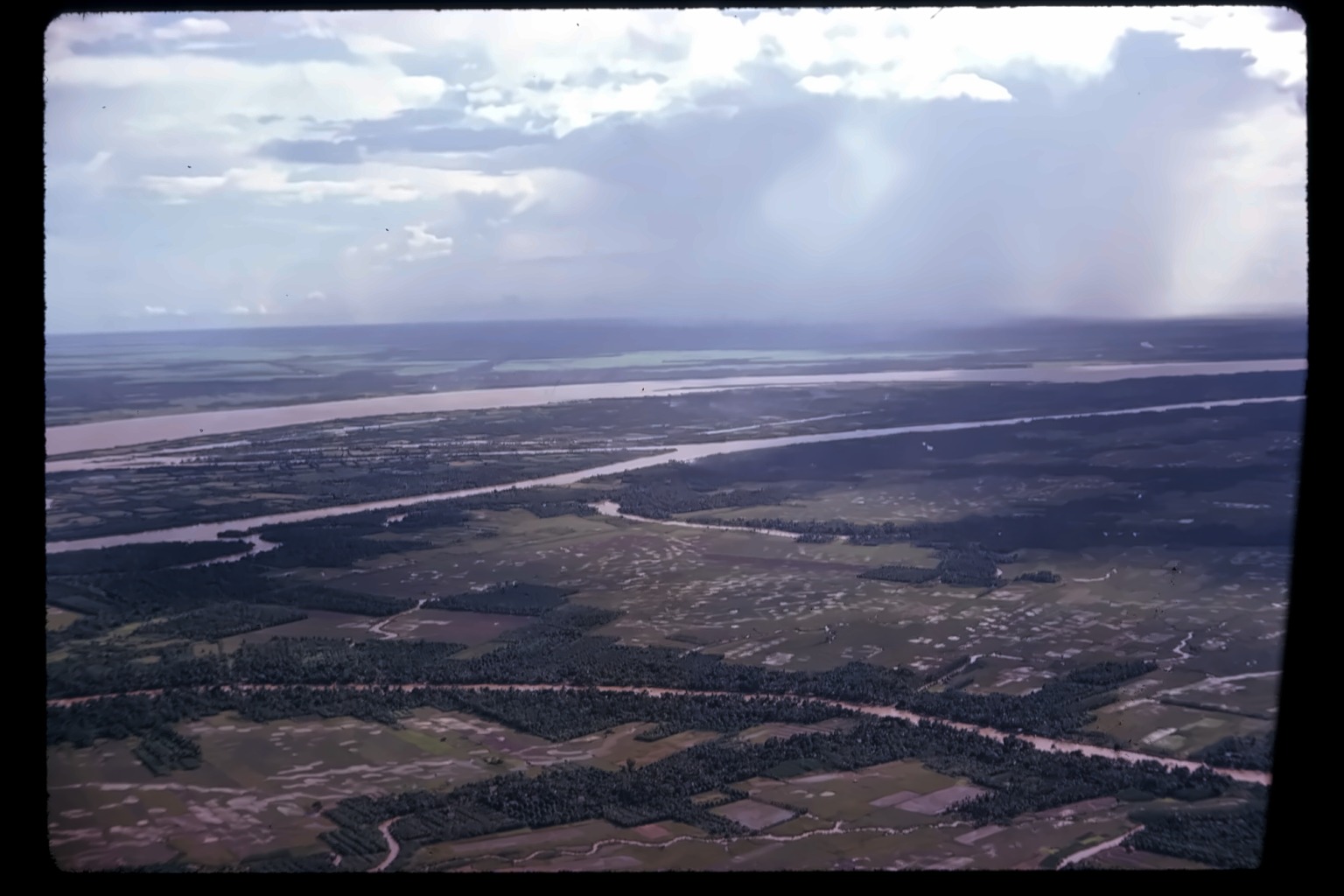
A wide, silty river below, visible rain shafts falling from the clouds in the distance — the storm the tray's been tracking, seen from above as it moves through.
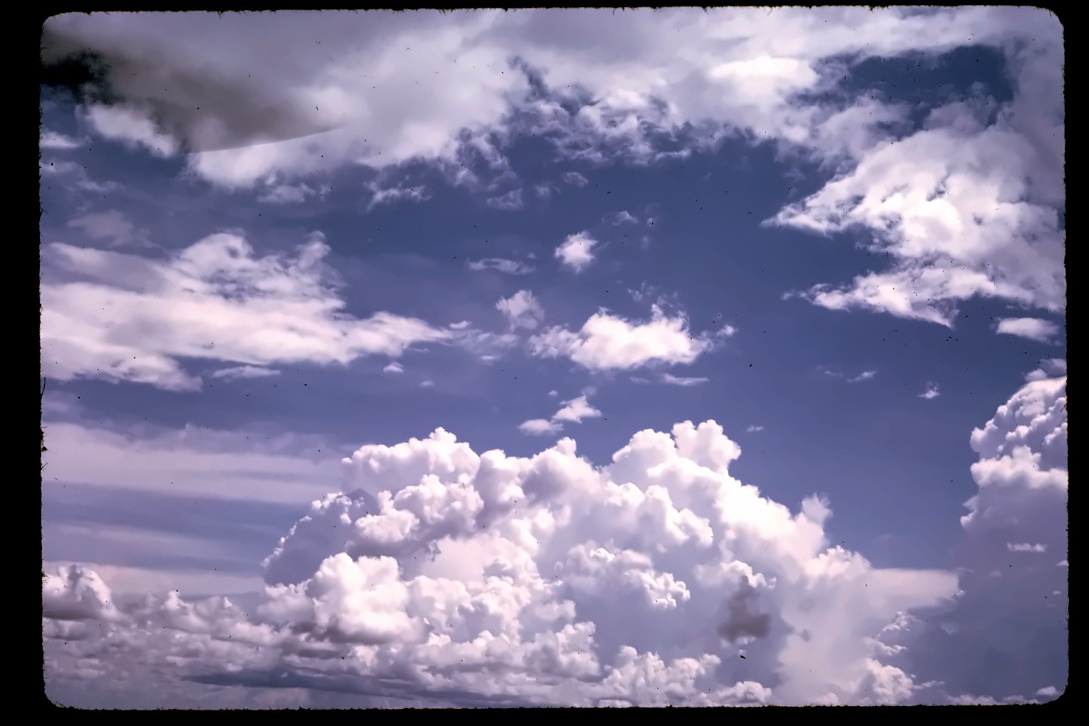
No ground visible in this frame at all — pure sky, towering storm clouds building. Reads like he's watching something (aircraft, a formation) disappear into the cloud bank.
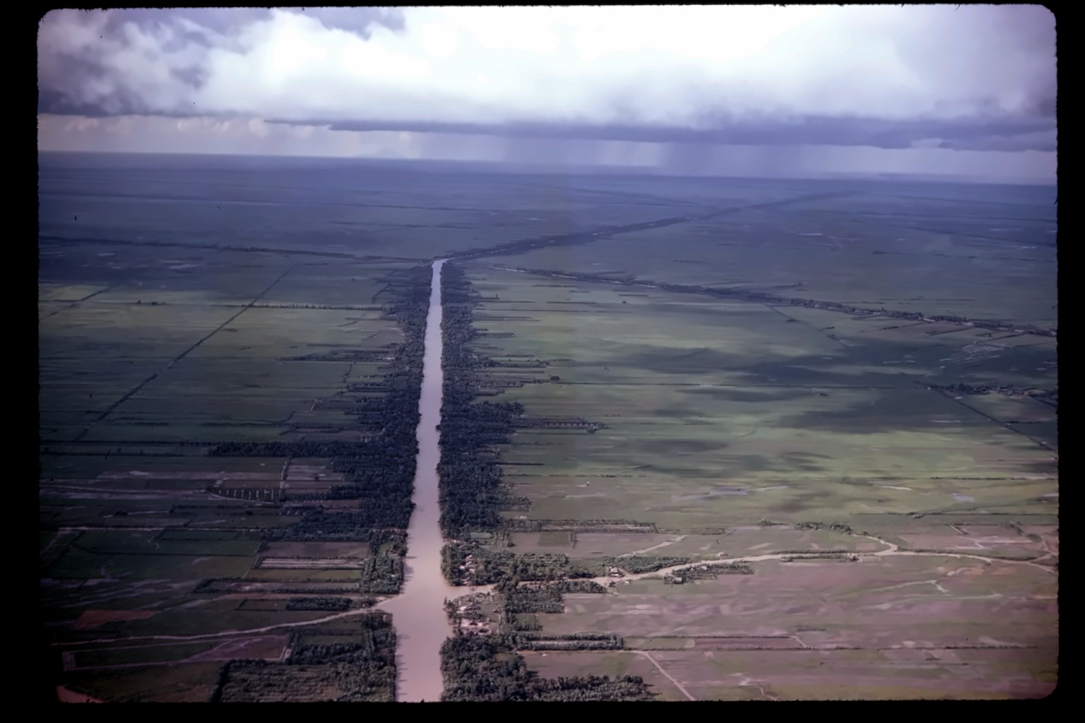
Aerial, hazy coastline — spotting another aircraft in the distance.
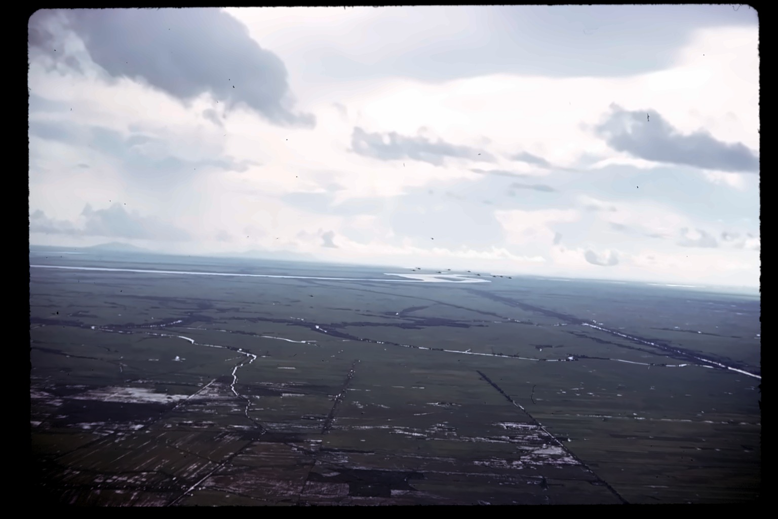
Aerial over hazy water, distant mountains on the horizon — several small aircraft, Hueys, visible in loose formation near the waterline. "Bees-Drowes" reads like his own phonetic spelling of "bees' drone" — the sound and swarm-like look of a helicopter formation, not a place name. Closes the tray.